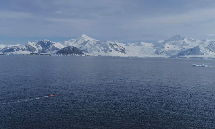
The United States and Europe will come together to launch a mission to measure one of the most obvious signs of global warming: rising sea levels.
The oceans are an essential pillar of our ecosystem. They alone are able to absorb more than a quarter of our greenhouse gas emissions. The problem is that they are heating up. In fact, the glaciers melt and the water expands, leading to a rise in sea level. It is also important to know that the more an ocean heats up, the less it absorbs CO2. And inevitably, there are consequences.
A heavy human and financial toll
Recently, a study published by the National Oceanographic Center of the United Kingdom (NOC) revealed that floods caused by rising sea levels could cost $ 14 trillion a year by 2100. Another study published in Nature Communications estimated that up to 300 million people living in coastal areas could be affected by floods aggravated by climate change in 2050.
Given these projections, it is therefore very important to be able to accurately assess this rise in sea level. In this sense, several satellites have already been put in place in recent decades. Together, these instruments found that sea level climbed steadily by 3 mm per year. Nevertheless, the situation seems to be getting worse in recent years.
A major mission
Given the urgency of the situation, ESA, the European Organization for the Exploitation of Meteorological Satellites (EUMETSAT), NASA and the National Oceanic and Atmospheric Administration (NOAA) are currently collaborating on the development of a joint mission.
The Sentinel-6 / Jason-CS project plans to send two satellites (Sentinel-6A and Sentinel-6B) into orbit to keep a close eye on this rising sea level until 2030. The first one will be launched as soon as next year from Vandenberg US Air Base by a SpaceX Falcon 9 rocket. The second will be put into orbit five years later.
Together, these two satellites will be able to assess the rise of water to the nearest millimeter by sweeping 95% of ocean coverage. Once processed, this data should allow us to truly become aware of the magnitude of the problem. Then we can put the appropriate measures in place.


